I'm starting to collect GPS data on routes that I walk with my granddog and am in search of a good visualization tool.
I've used Google Maps, but not Google Earth. And I've just tried GPS Visualizer. I imported CSV data files with Lat/Long/Date/Time info.
Before I invest a lot of time, I thought that I'd take a quick survey to see if anyone has recommendations or opinions on a visualization tool. Ideally I'd like to be able to dynamically update the plot (maybe play recorded data sequentially). Is there a particular data format that I should look at? I am currently using the default format from nRF Cloud.
Here is an plot example using Google Maps - I selected a data point to display the data format.

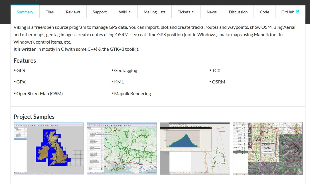
And the same data in GPS Visualizer showing the tracking.