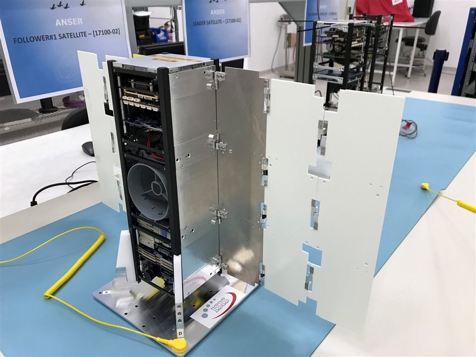
The ANSER team installed the CubeSat aboard the Vega spacecraft. (Image Credit: ESA-CNES-Arianespace/Optique video du CSG)
Spain’s ANSER (Advanced Nanosatellite Systems for Earth-observation Research) CubeSats trio has launched into orbit at the top of the Earth’s atmosphere, imaging the Iberian waters. These small satellites, developed by the Spanish Institute of Aerospace Technology (INTA), unfold flaps to stay in position 10km apart from each other, flying like birds while working together as a unit.
Interestingly, these shoebox-sized satellites work without propulsion systems. Their wing-like flaps control their positioning instead by leveraging the trace amounts of air at the top of the atmosphere. In that case, the wingspans extend sixfold so they can lift upward, sideways, or drag downward. However, operating without a propulsion system means the cluster’s mission could last for two to three years. Even then, replacement satellites could be launched to join the cluster, making it possible to perform hardware upgrades.
“A specially-developed algorithm will be used to plan these ‘Differential Lift and Drag’ maneuvers on the ground for telecommand uplink to the satellites. Increasing the drag effect allows the creation of significant relative movements along track, while the more lightweight lift effect can produce small cross-track shifts, says Santiago Rodriguez Bustabad, overseeing the mission. “The precise aerodynamic resistance is highly dependent on the orbital altitude, but on average, we would expect to spend no more than 72 hours to produce 10 km of along-track separation. Later in the mission, we might attempt autonomous onboard maneuvering as well.”

The ANSER CubeSats deploy wing-like flaps to stay in position throughout its mission. (Image Credit: INTA)
A CubeSat in this trio operates as the leader. It communicates with the ground while connecting with the other two via inter-satellite links. Additionally, the lone satellite leader leads the mission of monitoring the inland Iberian lakes and reservoirs and comparable water bodies across the nation.
“ANSER’s hyperspectral imager CINCLUS – named for another bird species – is a fractionated payload distributed across the three CubeSats. The leader satellite has panchromatic cameras to detect clouds and pre-validate the utility of the hyperspectral images before processing on the ground. The two follower satellites host miniaturized hyperspectral cameras incorporating micro-spectrometers,” Santiago said.
Those four spectrometers supported by the panchromatic cameras deliver 60m spatial resolution while covering the near visible to infrared region. This provides insights into toxic microorganisms like pollution levels and toxic organisms like phytoplankton blooms.
Have a story tip? Message me at: http://twitter.com/Cabe_Atwell
