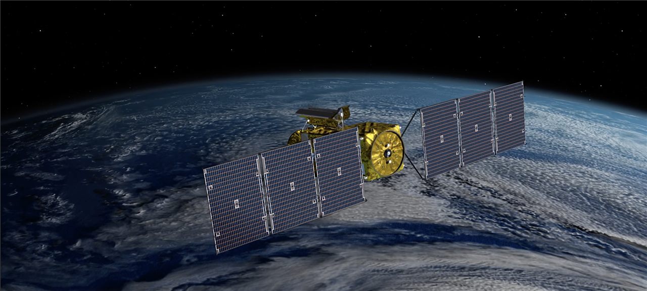
NASA's SWOT mission will monitor the Earth's waters to help address climate change issues. (Image Credit: NASA/JPL-Caltech/CNES/Thales Alenia Space)
On Friday at 6:45 AM EST, SpaceX launched NASA's Surface Water and Ocean Topography (SWOT) satellite on a Falcon 9 rocket from California's Vandenberg Space Force Base. This mission aims to monitor all the water on the Earth's surface to help scientists better understand the essential resource.
SWOT is designed to monitor the waters from orbit, measuring small differences in surface elevations surrounding small currents and eddies. The satellite can perform this task with ten times more resolution compared to other technologies. Observing such a process could help scientists figure out when oceans emit heat into the atmosphere, which accelerates global warming. Differentiating small surface characteristics can also help observe the impact of rising ocean levels on coastlines.
Additionally, accurate data along tidal zones would predict the distance at which storm surge flooding moves inland. It can even determine the effect of saltwater intrusion into wetlands, underground aquifers, and estuaries. SWOT will observe freshwater bodies, including rivers wider than 330 feet, over a million lakes, and reservoirs larger than 15 acres. Monitoring the waters during SWOT's three-year mission allows researchers to track river and lake fluctuations while seasonal changes and weather events occur.
SWOT uses the Ka-band Radar Interferometer (KaRIn) to monitor the ocean and surface water levels over a 75-mile wide swath with a 12-mile gap along the nadir. The Jason-class Altimeter collects all the information in the gap between the KaRIn swaths. It essentially transmits and receives signals traveling up and down. Sea Surface height is determined based on how long each pulse completes a round trip.
Meanwhile, the Doppler Orbitography and Radiopositioning Integrated by Satellite (DORIS) Antenna is responsible for picking up signals from 50 to 60 ground-based radio beacons. The Microwave Radiometer measures the amount of water vapor between SWOT and the Earth's surface. If more water vapor accumulates, then it slows down the radio signals.
Radar Interferometry involves transmitting two sets of radar signals that hit the Earth and return to the transmitter. These two signals' interference is then analyzed. One signal travels slightly farther, and when both return to the satellite, scientists can look at the difference to determine the distance, allowing them to see a body of water's depth.
Have a story tip? Message me at: http://twitter.com/Cabe_Atwell
