


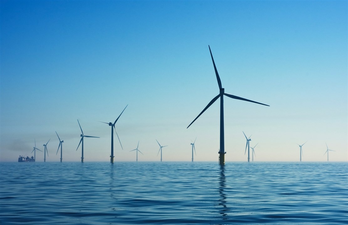
Underwater landslides can impact offshore infrastructure like wind turbines. (Image Credit: Nicholas Doherty/Unsplash)
When underwater landslides hit, they can move huge amounts of sediment into the ocean, potentially damaging offshore infrastructure and setting off tsunamis. Storms, earthquakes, and human interference typically cause these movements, which impact energy infrastructure operations, including cables, anchors, pipelines, and risers. Researchers at Texas A&M University in College Station developed a new technique that uses advanced site characterization data and Bayesian modeling to forecast underwater landslides, making offshore facilities, like ocean wind farms, more resilient.
"One of the main events threatening onshore and offshore facilities is landslides: They can completely wipe out all these installations," said Zenon Medina-Cetina, associate professor in the Department of Civil & Environmental Engineering. "We show in our paper that information from multiple disciplines in the correct sequence is needed to better understand the probability of landslide development at any place and time."
Before starting an offshore project, teams collect data about the seabed, sub-seabed, and environmental conditions using a series of geological assessments, geophysical surveys, geomatics, and geotechnical analysis. Sonar mapping, core samples, and soil testing data are also included. Site characterization helps reduce underwater hazards and supports the design, construction, and installation of offshore structures. The effort involves a team of geophysicists, geomatic technologists, geotechnical engineers, and geologists to ensure data is integrated in the right sequence for reliable predictions. Medina-Cetina's model uses that site data to forecast when underwater landslides might occur.
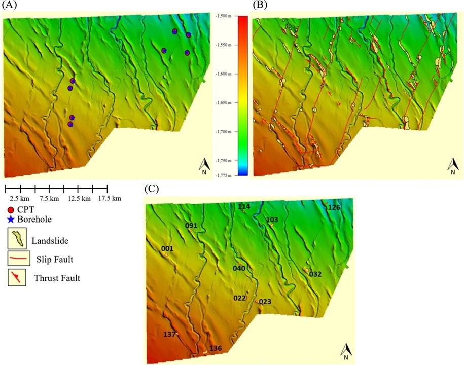
Landslide samples used for geometric analysis of deformation patterns. (Image Credit: Springer Nature Link)
"It is very important to start with the geophysicist and then bring in the geologist and then have the geomatics group working with the geotechnical engineers," said Medina-Cetina. "As an analogy, imagine that I need to train a baby to walk while teaching it how to run. This is going to be much harder, right? A systematic sequence on the use of evidence ensures that the landslide models are better calibrated by learning from the data as they are being produced."
The team's model relies on Bayesian statistics to analyze that data. While other models generate a single risk estimate, this technique produces probability distributions to determine landslide risk. In that case, the model represents a range of potential outcomes and self-updates with new data. This makes predictions more accurate and confident.
They also perform calibrations on the model by evaluating differences between prior probability distributions and posterior distributions. It involves parameters such as soil unit weight, soil layer thickness, slope angle, seismic coefficients, and the soil's undrained shear strength.
Companies investing in offshore projects can lose money if they lack confidence in the subsea civil infrastructure designs to handle geohazards. "My job is to make sure that under any geo-hazardous conditions, these offshore structures are going to be safe and are going to remain where they were designed to be," said Medina-Cetina. "What we're trying to say is it matters how you do the sequence of these site investigations, and how you integrate those data to train the landslide models, so that you can be more confident on the occurrence of potential submarine landslides."
Have a story tip? Message me at: http://twitter.com/Cabe_Atwell
Top Comments