


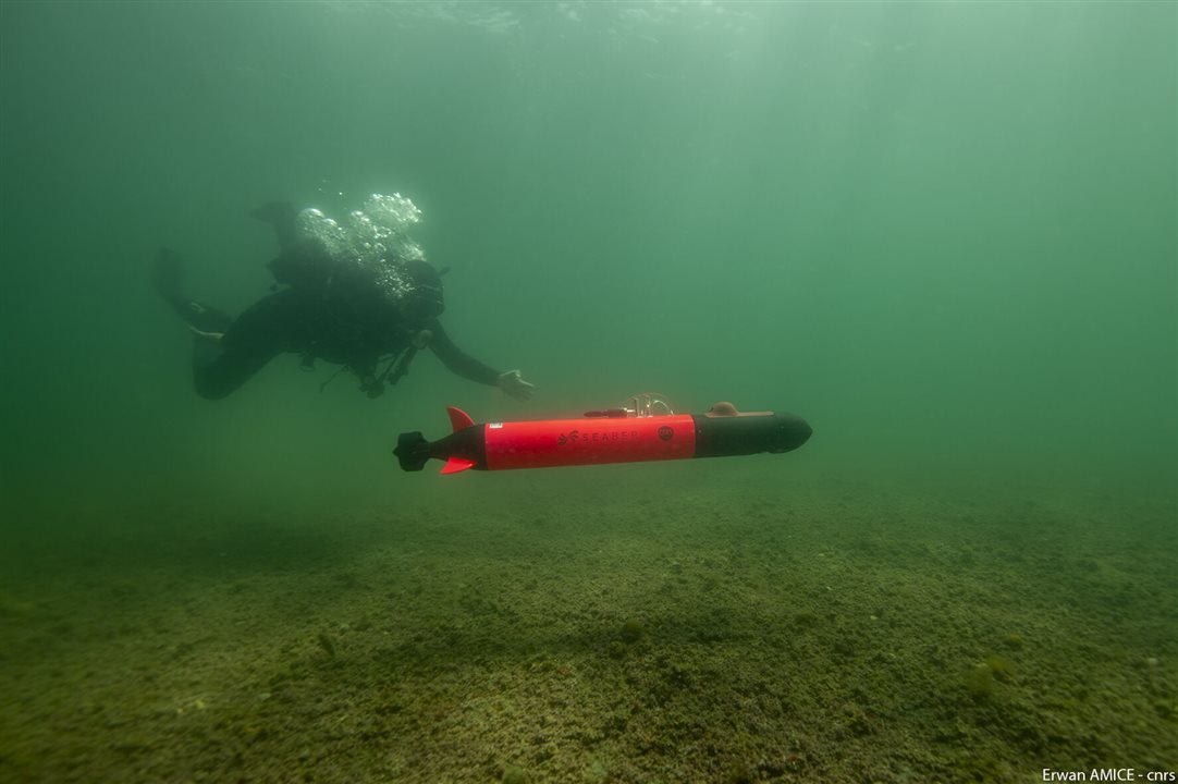
Seaber’s YUCO-PHYSCICO underwater drone. (Image Credit: Seaber)
Water layers in the Baltic Sea don’t always stay in the same place. In August, researchers from the Leibniz Institute for Baltic Sea Research Warnemünde (IOW) used an underwater AUV to survey the Baltic Sea off Germany’s coast. They discovered that deep, salty water rose toward the surface.
Upwelling is to blame for this. It occurs as wind moves surface water away from the coast. Deeper water then rises in its place. On August 25th, easterly wind blew in and created that effect along the east-west German coastline. Three days later, that water lacking oxygen had reached the surface.
The YUCO-PHYSICO autonomous system, developed by SEABER, measures 4 feet long, 5 inches wide, and weighs 20.9 pounds. It can reach a depth of 300 meters, and while running at its slowest speed, travels 25 miles on a full charge. The Doppler velocity logger ensures it stays at a set distance above the seabed. Researchers also program the depth and bottom-clearance limits so the drone will automatically ascend to the surface.
This underwater drone traveled along 1.9-mile-long lines, which ran from the shoreline near Elmenhorts to an anchorage that cargo ships use. It reached the seafloor before returning to the surface and repeated that cycle. This produced a path resembling a wave through the water as the AUV measured temperature, salinity, and oxygen at varying depths.
The team also used an AML-RT3 CTD probe to collect measurements. CTD probes record conductivity, temperature, and depth, while additional sensors measure chlorophyll-a and turbidity. Conductivity is used for determining salinity. For the August mission, scientists integrated an oxygen sensor, so they could track oxygen-poor deep water during the upwelling.
Measuring oxygen is useful in the Baltic’s shallow coastal waters. According to a 2025 study, underwater gliders become inoperable in waters shallower than 98 feet. During eleven Estonia-based missions last year, the YUCO-PHYSICO drone operated in waters with a depth of a few feet to over 100 meters.
By comparing the drone’s measurements with the CTD, IOW can evaluate the underwater drone’s performance. It found deep, salty waters close to shore, and oxygen concentrations decreased to 3-4 milliliters per liter. According to IOW, concentrations < 2 milliliters are harmful to aquatic life.
Instead of using satellite or cellular networks to communicate, the drone relies on a handheld radio controller with a range of 0.6-1.2 miles. TalTech expects to incorporate a small satellite tag for recovery if it drifts away from that range.
Have a story tip? Message me here at element14.